PHOENIX — Snow is tapering off in the High Country, but it's only an intermission. Look for snow to start falling again later in the day on Friday.
Several highways are currently closed due to inclement conditions.
There’s a winter weather advisory across northeast Arizona for elevations at 5,000 feet and up and a wind advisory for a section of northwest Arizona for southwest gusts up to 45 mph. And Tonto Basin has been placed under a flood warning.
TRACK THE STORM: Interactive radar
This stormy weather is expected to continue into the weekend, according to the National Weather Service. Stay with 12News for the latest updates.
Road Closures
- All highways are now open, ADOT reports.
CHECK TRAFFIC CONDITIONS: ADOT traffic map
>> Download the 12News app for the latest local breaking news straight to your phone.
Live Updates
Friday
6:15 p.m.: Showers are moving into the Flagstaff area. Coverage is expected to increase into the evening.
2 p.m.: Officials with the City of Flagstaff said the expected timeframe to plow areas with over 12 inches of snow is 36 hours.
12:45 p.m.: The National Weather Service in Flagstaff released 3-day snow totals, with some areas in the High Country seeing more than 30 inches. More snow is expected to fall beginning Friday evening, with snow accumulations as low as 3500-4000 feet.
5:15 a.m.: ADOT has released an updated list of highway closures in the High Country. Although the snow is easing off for now, NWS expects that it will return to parts of the state later tonight.
Thursday
7 p.m.: Snow is dwindling in Northern Arizona but the threat for local bursts of heavy snow and near-whiteout conditions remains.
6:20 p.m.: Snow is falling at elevations above 4,500 feet in Gila County
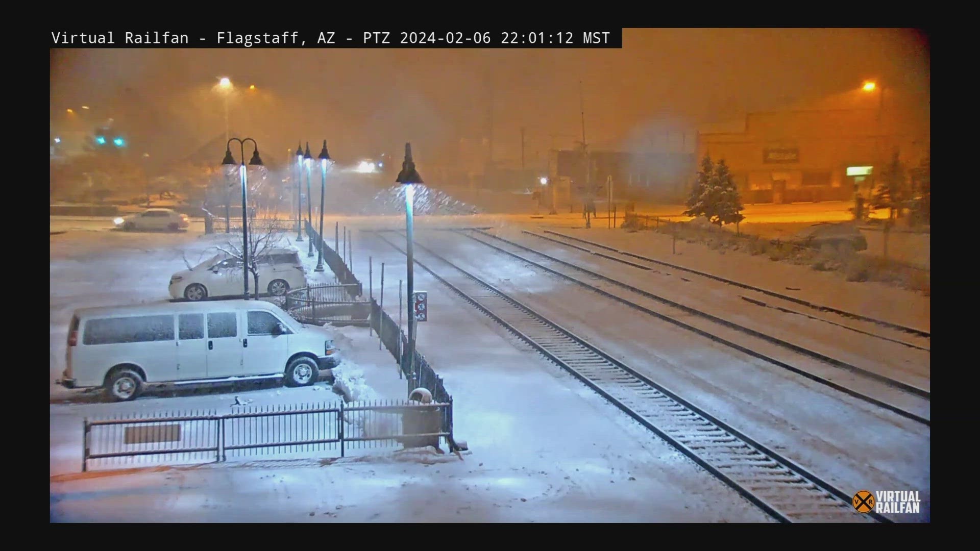
5:45 p.m.: Arizona Snowbowl said the resort has gotten 37 inches of powder in the last 48 hours.
4 p.m. Showers are moving through portions of the East Valley and should taper off by 5 p.m.
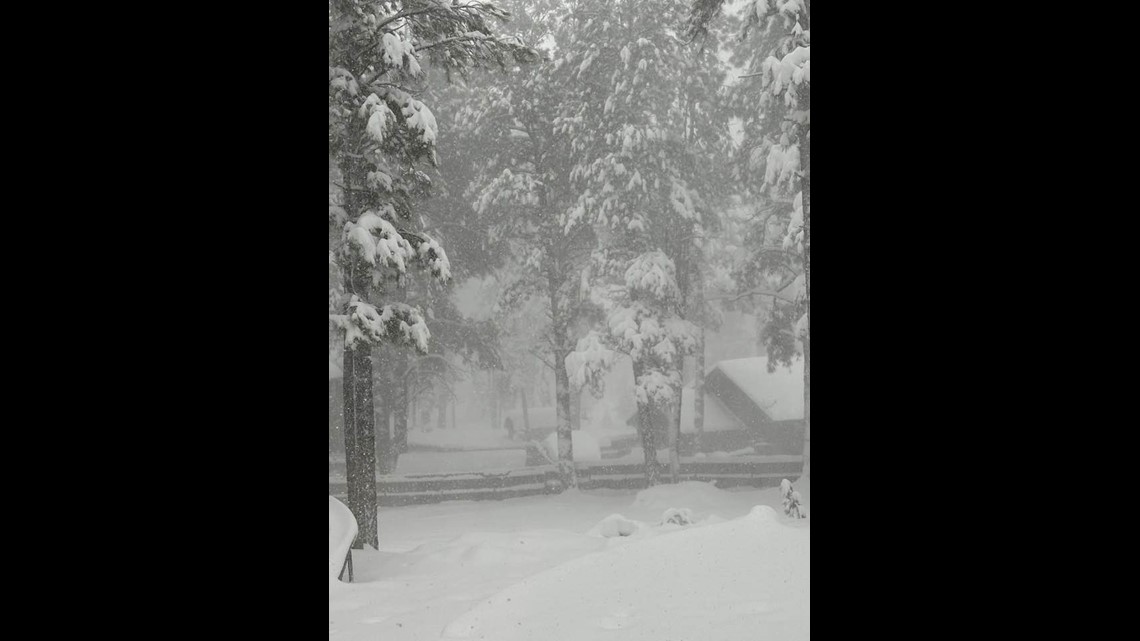
3:50 p.m.: NWS shared images of driving conditions across Northern Arizona
3:30 p.m.: Arizona Game and Fish shared photos from Pinetop
3 p.m.: ADOT shared photos of a section of Interstate 40 that got covered in snow within just 20 minutes.
1:34 p.m.: Northbound I-17 is closed at SR 179.
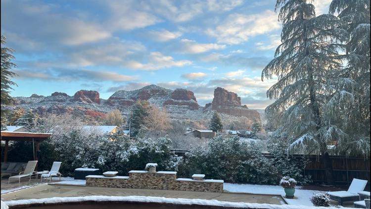
1 p.m.: Joyce Parsze shared this photo of snow in Flagstaff:

1:15 p.m. Another road closure has been announced for State Route 89A between Flagstaff and Sedona.
12:40 p.m.: ADOT announced more road closures.
12:25 p.m.: Be careful on the roads as rain keeps moving through the Valley.
Noon: Rain showers are moving into the Phoenix Metro area ahead of a cold front. It's expected to rain for the next four to five hours.
9:30 a.m.: ADOT announced that I-40 eastbound at Ash Fork has been closed again. It previously reopened on Wednesday. NWS Flagstaff described the conditions as "extremely difficult to impossible" for travel and warned drivers to stay home.
Wednesday
6 p.m.: Flagstaff Unified schools will be closed Thursday.
4 p.m.: A winter storm warning has been extended through 11 p.m. Thursday and now includes areas down to 5,000 feet.
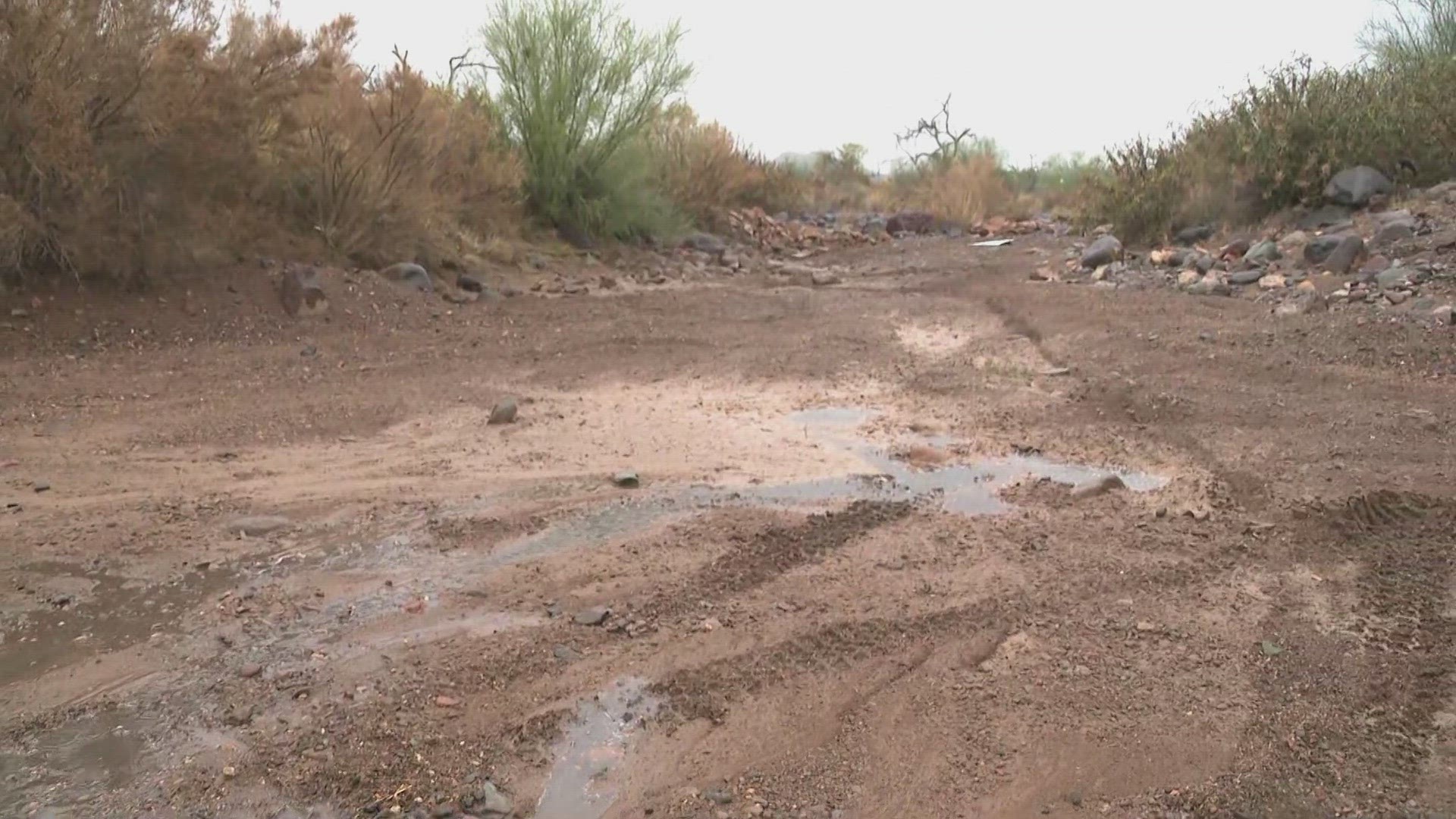
3 p.m.: A flood warning is in effect for Tonto Creek until 8 am Monday, due to water levels rising to critical levels.
2 p.m. Play for the Annexus Pro-Am at the Phoenix Open was suspended and eventually canceled for the rest of the day due to the weather.
Noon: Scattered showers and storms are starting to pop-up around the Phoenix metro. Heavy downpours and lightning are expected with any storms that develop through the evening.
11:30 a.m.: Road conditions in the High Country:
8:50 a.m.: Parts of the Valley got absolutely soaked, and most everywhere got at least a quarter of an inch of rain last night. We have an early look at the rainfall totals:
- Central Phoenix: 0.28"
- West Phoenix: 0.31"
- North Phoenix: 0.35"
- Goodyear: 0.43"
- Glendale: 0.31"
- Laveen Village: 0.35"
- Scottsdale: 0.31"
- Tempe: 0.28"
- Gilbert: 0.20"
- Mesa: 0.43"
- Chandler: 0.24"
- Queen Creek: 0.16"
- McDowell Mountain Regional Park: 0.71"
6:50 a.m.: Residents in the High Country should be aware that driving carries a moderate to major risk due to the winter weather today. Stay on top of road conditions at AZ511.com.
6:30 a.m.: Scattered showers and isolated thunderstorms will continue in the Valley with more rainfall expected on Thursday.
5:00 a.m.: ADOT has announced more road closures.
12:05 a.m.: Road closure update from ADOT
Tuesday
11:20 p.m.: Light to moderate showers are moving through the Phoenix metro area. Expect on and off shower on Wednesday.
10:05 p.m.: ADOT issued this updated list of road closures.
10 p.m. Weather update with meteorologist Lindsay Riley.
9:35 p.m.: Heavier showers are making their way through the metro area. Expect heavy downpours and winds.
9:30 p.m.: Salome Highway in western Maricopa County is closed due to flooding north of I-10.
9:10 p.m.: The Arizona Department of Transportation is urging anyone who chooses to drive in a winter storm to be prepared. You should have a winter preparedness kit.
8:10 p.m.: Showers are moving into the western parts of the Phoenix metro area, NWS says.
6:50 p.m.: NWS reports that rain and snow continue to move north and east over the Payson area.
6:45 p.m.: There is a "decaying" line of storms near Tonopah headed toward Wickenburg, according to the NWS. The next round of storms will be moving toward Phoenix later in the evening.
4:45 p.m.: Coconino County officials are warning about the potential for large to very large avalanches in the winter backcountry, including the San Francisco Peaks.
"Human-triggered avalanches will be likely. This storm could lead to the first natural avalanche cycle of the season," the Coconino County Sheriff's Office said in a statement. "Kachina Peaks Avalanche Center is recommending that skiers and riders avoid near tree line and above tree line slopes at all aspects until the danger subsides.
3:50 p.m.: A wind and hail advisory has been issued for the Yuma area.
3 p.m.: Storms are approaching the Yuma area
2 p.m.: 12News Meteorologist Lindsay Riley has the latest on the winter storm warning in the High Country and rain moving through the Valley.
1:45 p.m.: Roads are becoming hazardous in the High Country, NWS says.
1 p.m.: A few sprinkles are making their way into the Valley.
12:30 p.m.: ADOT shared some wet weather driving tips in preparation for stormy conditions later today.
11 a.m.: Light showers are moving out of California and into Arizona. Serious rainfall will begin later this afternoon.
9 a.m.: ADOT says we're in for a doozy, and the radar agrees. Warm, moist air is going to dump a lot of precipitation on State 48 over the next few days. Keep an eye on the roads for your commutes home.
Arizona Weather
Drought, wildfires, heat and monsoon storms: Arizona has seen its fair share of severe weather. Learn everything you need to know about the Grand Canyon State's ever-changing forecasts here.