PHOENIX — For the past several months, you've been hearing about El Niño. El Niño has to do with above-normal water temperatures in the tropical Pacific.
These warm waters help generate large areas of showers and storms over many weeks and months. This setup in the tropical Pacific has the potential to influence storm track patterns.
During an El Niño winter, our region tends to see above-normal precipitation. While El Niño is not the only factor that impacts storm systems, we can get a general idea of what to potentially expect based on past seasonal trends.
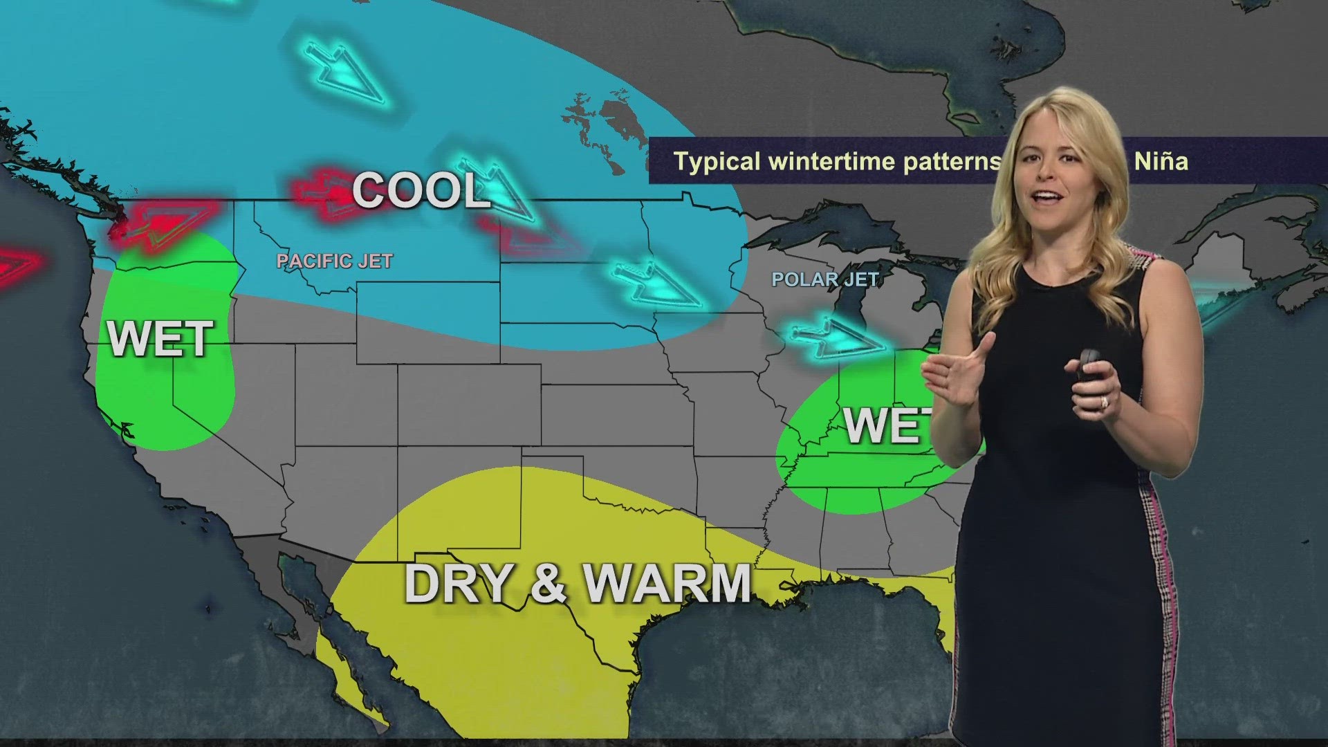
The reverse of El Niño is La Niña. During a La Niña winter, cooler-than-normal ocean temperatures in the tropical Pacific shut down recurring showers and storms. This typically leads to below-average precipitation in our region.
What is the forecast for El Niño? El Niño is expected to continue for the next couple of months, with neutral (neither El Niño nor La Niña) conditions favored in April and June 2024. After that, La Niña probabilities will trend upward. May and June are typically our driest months of the year.
So what's the temperature and precipitation outlook for the next few months? There isn't a clear-cut signal for the desert Southwest.
Remember, El Niño and La Niña patterns are not the only factors we look at when forecasting the weather. Currently, there are nearly equal chances for above or below-normal temperatures and precipitation in Arizona as we head into spring.
>> Download the 12News app for the latest local breaking news straight to your phone.
12News on YouTube
Arizona has seen its fair share of severe weather. Here is a compilation of videos from various storms across the Grand Canyon state.

