
CHARLOTTE, N.C. — Throughout hurricane season you will likely hear the term "rapid intensification." In 2024, Hurricane Beryl and now Hurricane Helene were both storms that rapidly intensified.
What is rapid intensification?
Rapid intensification is when a tropical cyclone, such as a tropical depression, tropical storm or hurricane, experiences in increase of maximum sustained wind speed by 35 mph or greater within 24 hours.
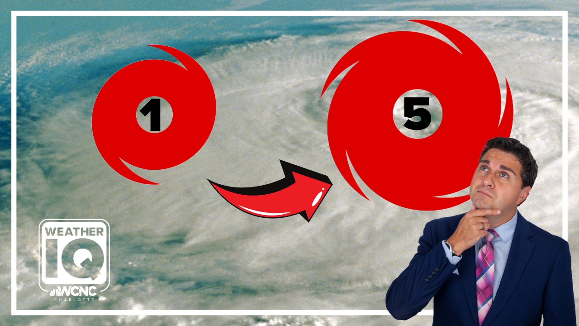
A quick boost of 35 mph could mean the storm strengthens from one category to the next on the Saffir-Simpson hurricane wind scale.
RAISE YOUR WEATHER IQ: Inside the powerful winds of a hurricane
For example, a hurricane with sustained maximum winds of 100 mph is considered a Category 2 storm. A 35 mph increase brings those sustained winds up to 135 mph. That increase makes the storm a category 4 hurricane. At this strength, the storm is similar in strength to 1989's Hurricane Hugo.
In 2023, Hurricane Idalia experienced a similar scenario of rapid intensification when the storm's winds increased from 100 mph to 135 mph in just nine hours.
What is needed for rapid intensification
Certain weather conditions allow a storm to rapidly intensify:
- Low wind shear: This allows the storm to develop vertically without the disruption of winds that otherwise change speed and direction through the storm structure.
- A super humid atmosphere: Especially in the mid-levels of the atmosphere, this moist, tropical air amplifies storm growth
- Ocean water temperatures: Above 80° Fahrenheit will intensify any tropical cyclone. Sea surface temperatures over 85 degrees would be the equivalent of adding jet fuel into an engine.
Helene's path checked all of these boxes. The storm's interaction with low wind shear, humid air and warm ocean temperatures will allow the storm to rapidly intensify as it nears Florida.
History of rapid intensifications:
- Hurricane Patricia back in 2015 was the most significant rapid intensification in modern hurricane history. Patricia rolled over waters that were up to 88 degrees west of Mexico in the Eastern Pacific. Hurricane Patricia was a strong tropical storm with sustained winds of 70 mph on the evening of October 21st. Overnight the historic rapid intensification began. Before sunrise on Oct. 22, 2015, Patricia was a hurricane with sustained winds of 85 mph. Within 24 hours, the storm was a Category 5 hurricane with sustained winds of 205 mph. That’s a 120 mph increase.
- Hurricane Wilma jumped 95 mph. The storm went from a Category 1 to a Category 5 hurricane in 24 hours between Oct. 18-19 in 2005.
- Hurricane Maria in 2017 grew 70 mph in just 18 hours.
- When Hurricane Beryl formed in 2024, it already set a new record for the earliest Category 5 to form during an Atlantic hurricane season. When Hurricane Beryl in just 24 hours moved from a 70-mph tropical storm to a 130-mph Category 4 hurricane, it experienced a rapid intensification of 60 mph.
Rapid intensification is becoming more and more common thanks in part to climate change. Within the United States alone, 70% of the country's billion-dollar disasters caused by tropical cyclones were from storms that experienced rapid intensification.
Contact Chris Mulcahy at cmulcahy@wcnc.com and follow him on Facebook, X, Instagram and TikTok.