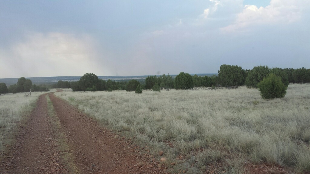
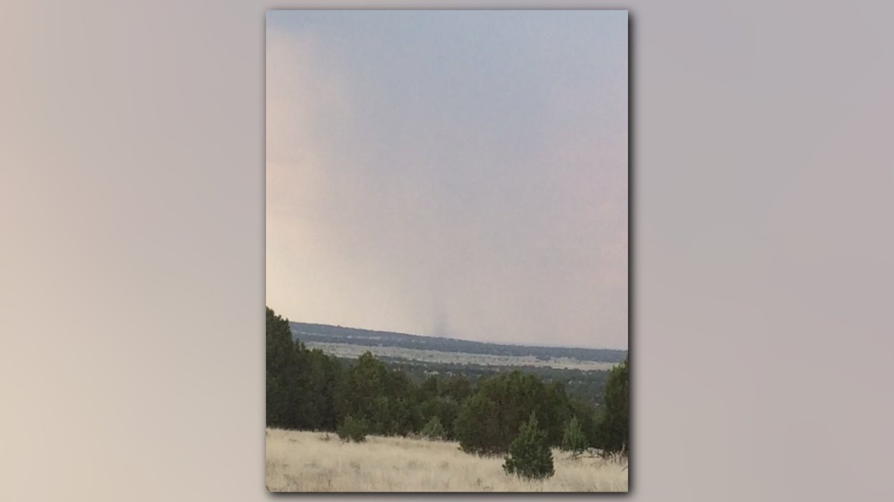
After closer examination of the many photos snapped during the Monday afternoon storm, the National Weather Service in Flagstaff declared the so-called "Snowflake tornado" a gustnado instead.
At first glance, a gustnado sure looks like a tornado with its spinning vortex, but it does not have a direct connection with the storm.

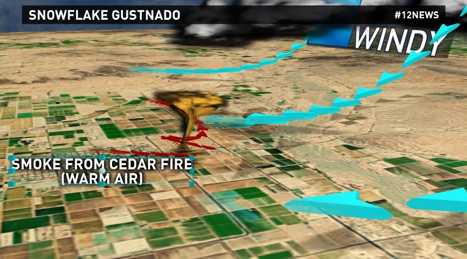
Typically, the gustnado will form along an outflow boundary from a nearby thunderstorm. That's where chilled air drops like a rock out of a storm, creating a speedy "mini cold front" at the surface. The colder air is denser and lifts up the relatively warmer air it takes on.
In this case, it turned out to be warm, smoky air from the Cedar Fire. The clash spun up the gustnado, which at the time prompted a tornado warning issued by the NWS.

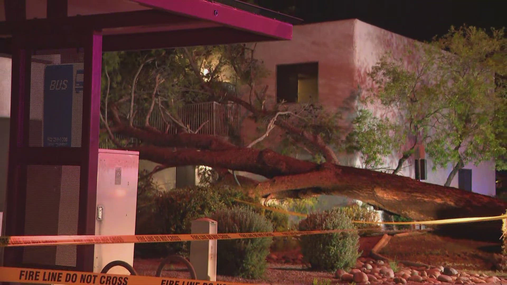
Gustnados may only reach 30-300 feet above the ground and wind speeds can top 80 mph, causing damage similar to a weak tornado!
Add clouds and rain to the mix shrouding the view, and you can imagine how difficult it can be to distinguish a gustnado from a tornado!


