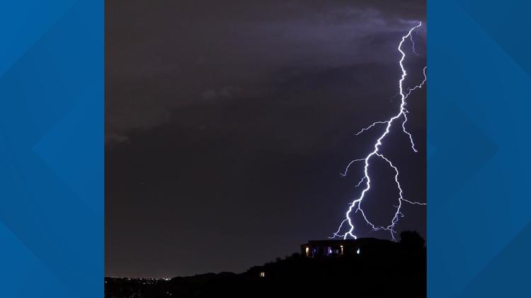
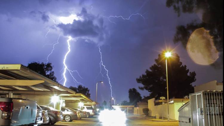
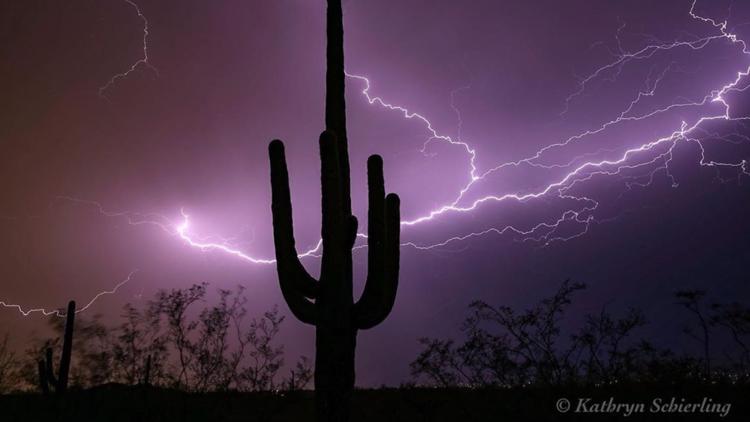
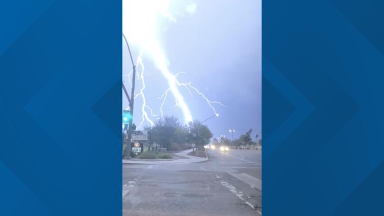
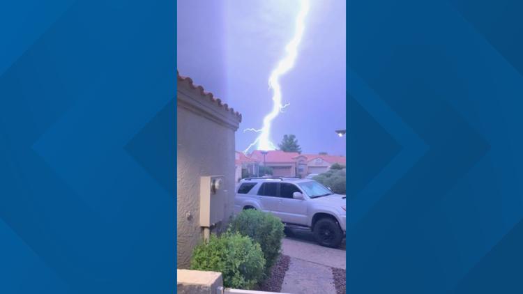
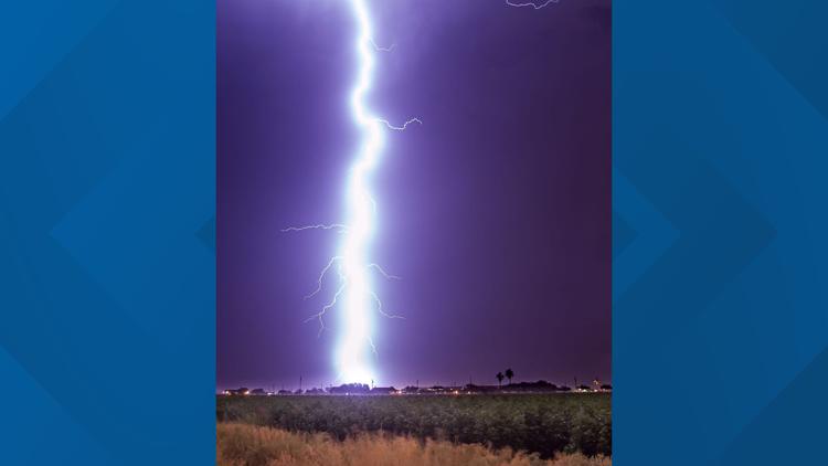
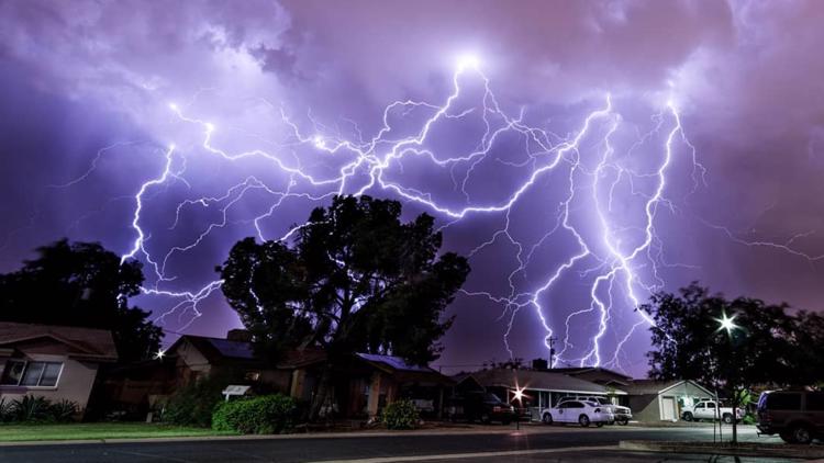
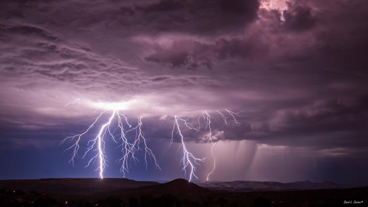
Two days after rain and thunderstorms slammed the Valley and other parts of the state, more storms dropped rain on the Phoenix-area and continued to do so Thursday morning.
Flash flooding will be a major threat with all the rain from these storms.
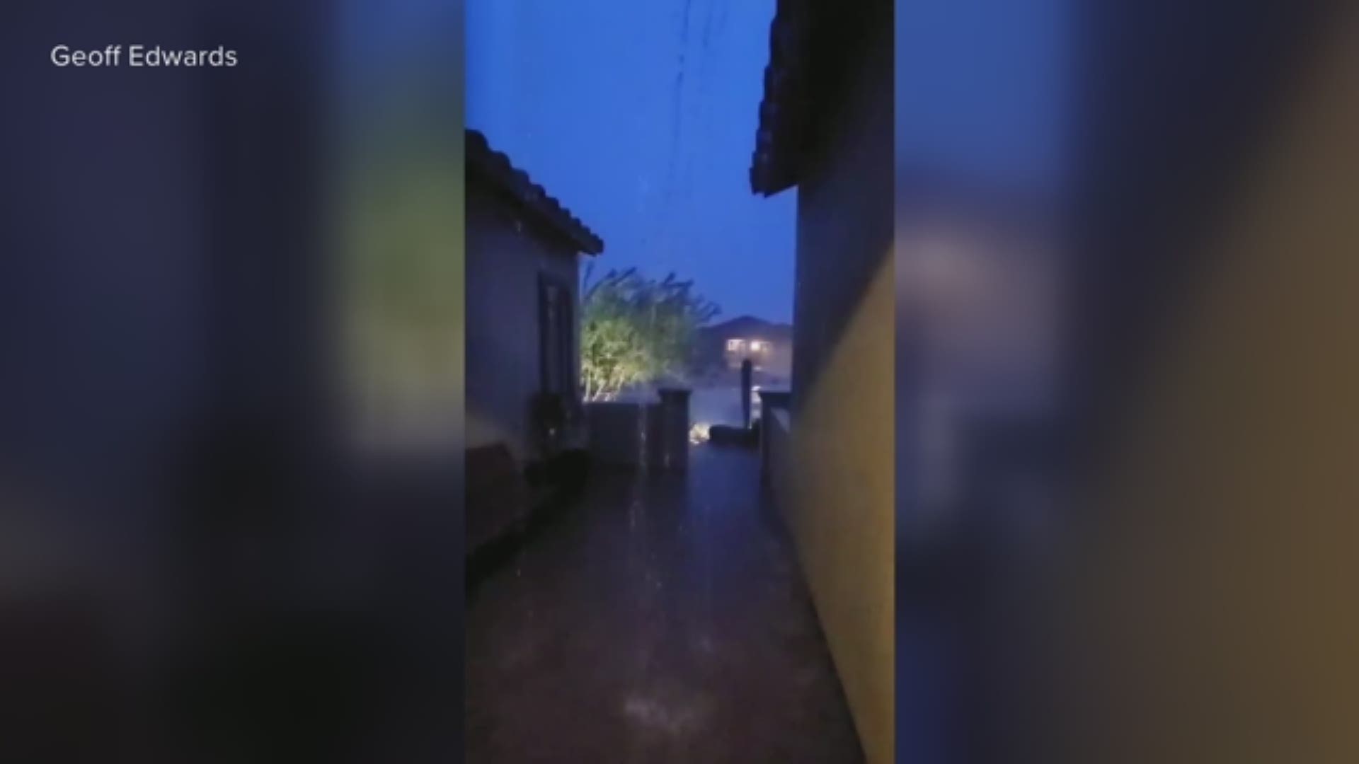
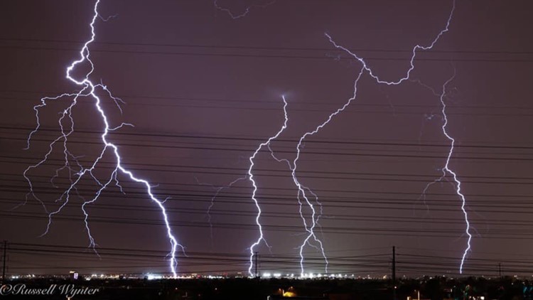
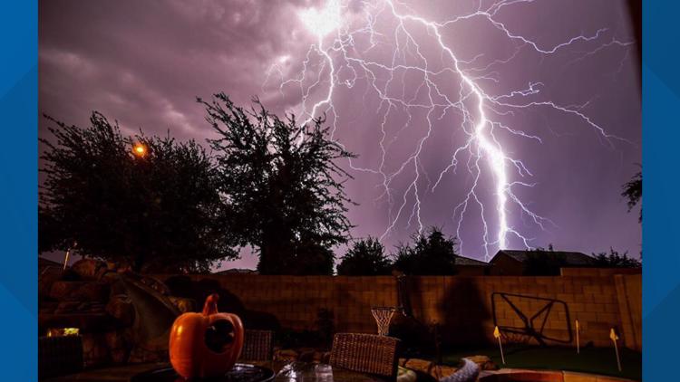
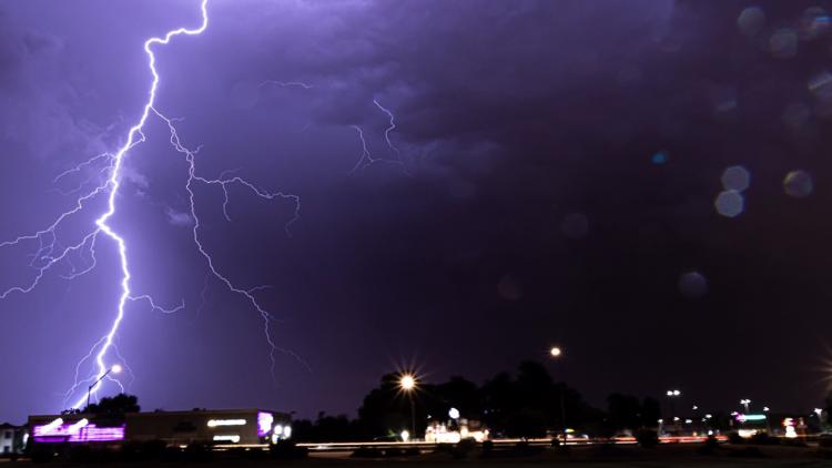
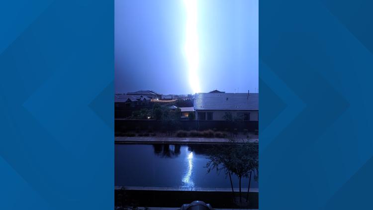
Heavy rain and lightning reached the Valley, moving northwest through Goodyear, Buckeye and Tonopah shortly before 8 p.m. Wednesday. Buckeye saw the most rain as the storm stayed parked over the area for about an hour and continued into Thursday.
Thursday
The storms Thursday are expected to be very hit or miss.
A significant weather advisory was in effect for Buckeye, Goodyear and Avondale early Thursday morning. Strong thunderstorms, heavy rain and even pea-size hail were the threats, according to NWS Phoenix.
By 5 a.m. Buckeye had seen nearly 3/4" of rain while Surprise measured a little over a half of an inch.
An urban and small stream flood advisory was issued Thursday morning for Buckeye as rain continued to fall in areas of the far West Valley.
TRACK STORMS: 12ne.ws/radar
Another urban and small stream flood advisory was issued Thursday morning for Wickenburg.
The National Weather Service in Flagstaff said heavy rain was reported early in the morning over areas in Yavapai and Gila counties. Cordes Lakes had seen more than an inch and a half of rain.
Scattered showers and storms are expected to last through 7 a.m. across Yavapai County and south and west of Flagstaff.
According to NWS Phoenix, showers were still falling as of 6 a.m. over the northwestern part of Maricopa County and between Parker and Blythe along the Colorado River.
NWS Phoenix says showers will "dwindle" this morning before picking up again later this morning and afternoon.
Wednesday Recap
The rain is much needed in the Phoenix area after a relatively quiet monsoon. Only 0.6 inches of rain has been measured at Sky Harbor Airport from the official start of the monsoon on June 15.
Earlier in the evening, the Phoenix area saw isolated storms. NWS Phoenix said there was a better chance of storms later in the evening.
NWS Phoenix says clouds over south-central Arizona may stop storms from popping off earlier Wednesday afternoon, but a strong storm developed over Yuma County before 12:30 p.m.
The highest chance for Valley rain will be later Wednesday and there could be rounds of hit-and-miss showers and thunderstorms through Thursday evening.


NWS Phoenix said the "greatest concern will be areas that received significant rain on Monday." Some areas in the Phoenix area received more than three inches of rain on Monday.
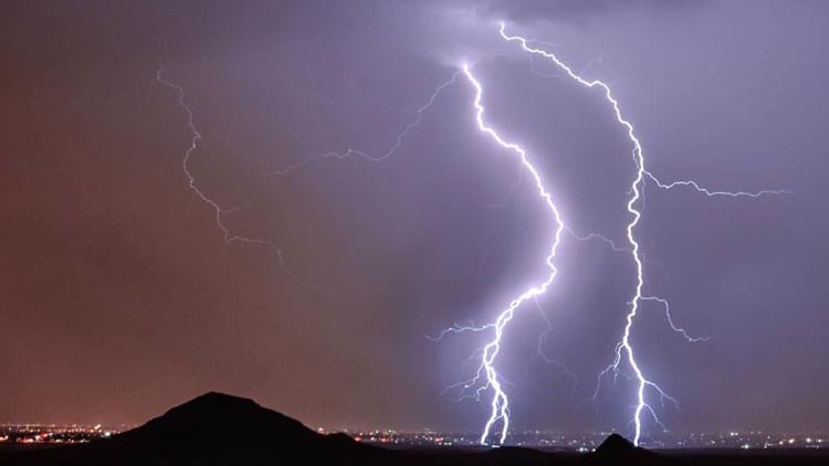
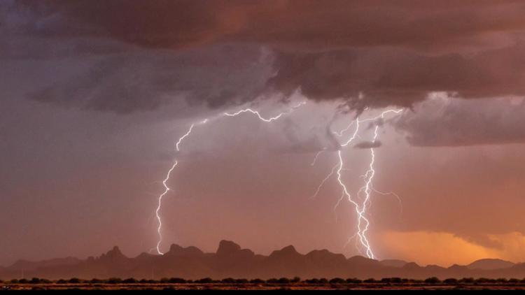
Some of the forecast storms could be strong and pose a risk for flash flooding, lightning, damaging winds, and hail.
The flash flood watch extends to areas in northern Arizona where NWS Flagstaff said "storms will get going a bit later than previously thought."
According to NWS Flagstaff, widespread storms are expected to develop Wednesday night. The "most impactful" storms will mainly occur across Yavapai County.

