FLAGSTAFF, Ariz. — Storm chances are continuing into the weekend following a busy weather week. After seeing heavy rain in the Arizona High Country earlier today, storms from the south have moved into the Valley.
Many areas of the Valley are currently under flash flood and severe thunderstorm warnings, as of 6:40 p.m. on Saturday.
Currently, SRP is reporting approximately 6,200 homes without power around Central Avenue and Camelback Road. APS also says more than 2,000 homes are without power in north Phoenix.
The High Country is not out of the clear yet either as parts of the Flagstaff area are under flash flood warnings.
How much rain fell in your neighborhood Friday? See rainfall totals here.
>> Live, local, breaking. Download the 12 News app
A flood watch remains in place for almost all of the state as of Saturday morning.
Latest Updates
Follow the current developments of storms across the state below. We will include the latest updates on warnings, watches, closures and other important information.
Saturday:
9:50 p.m.: Check rainfall reports for the Phoenix area Saturday.
8:10 p.m.: A look at flooding in Cave Creek this evening.
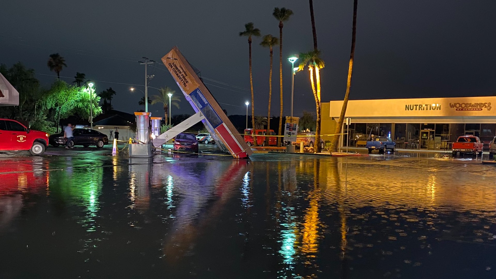
8:08 p.m.: An awning at a Circle K in north Phoenix was knocked over during tonight's storm that moved through the Valley.
7:48 p.m.: Flash flood warning continues for Cave Creek until 10:45 p.m. Other locations including Phoenix, Scottsdale, New River, Cave Creek and Carefree could experience flash flooding.
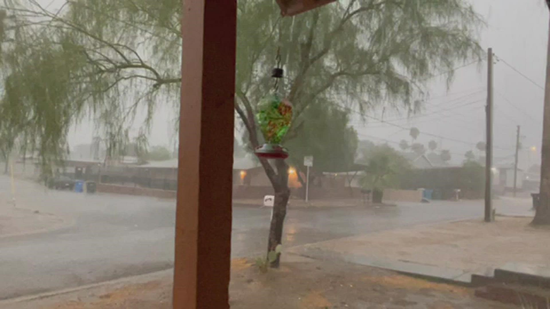
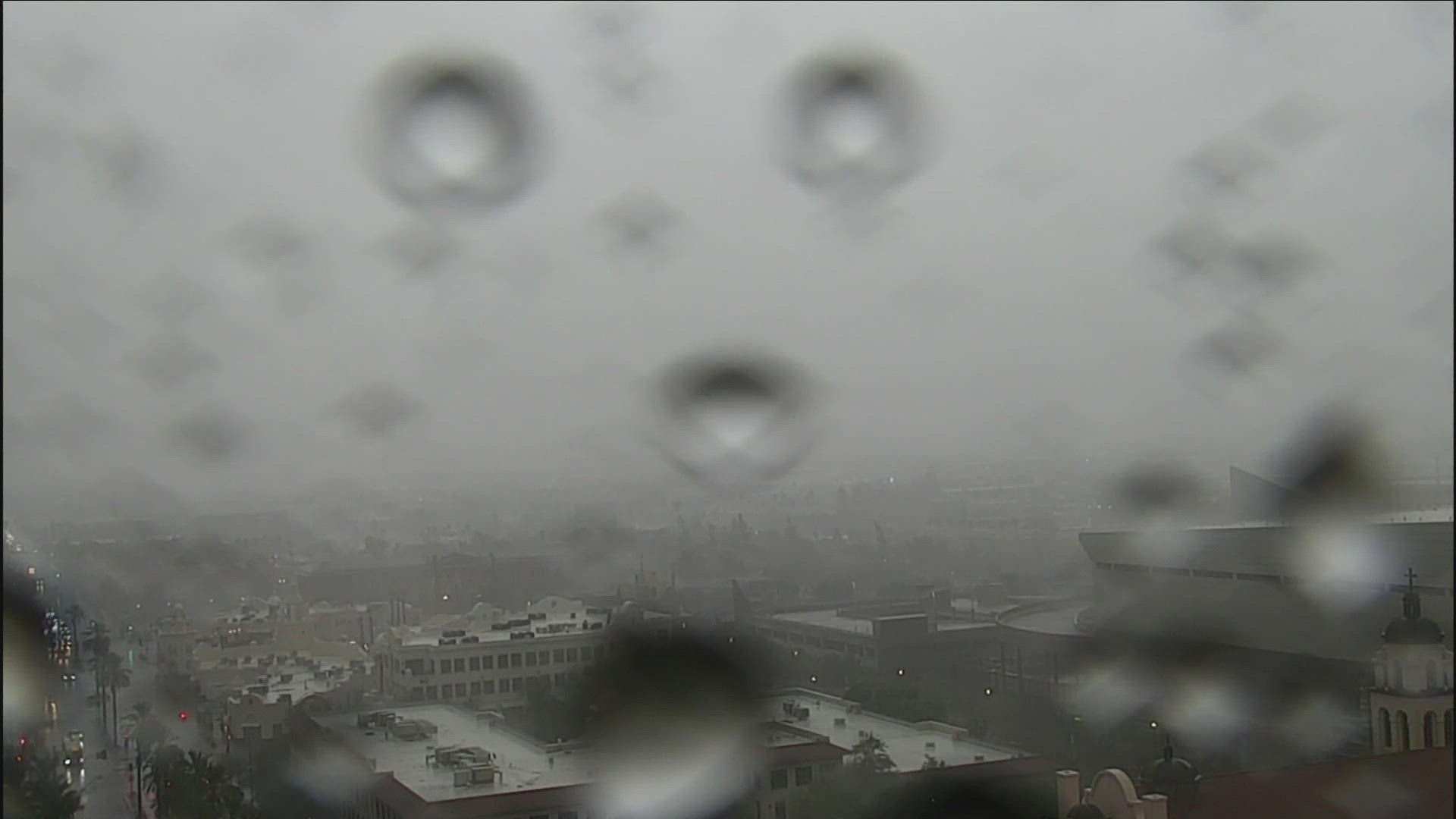
7:40 p.m.: Shots from 12News viewers during and after the storms in their areas of the Valley.


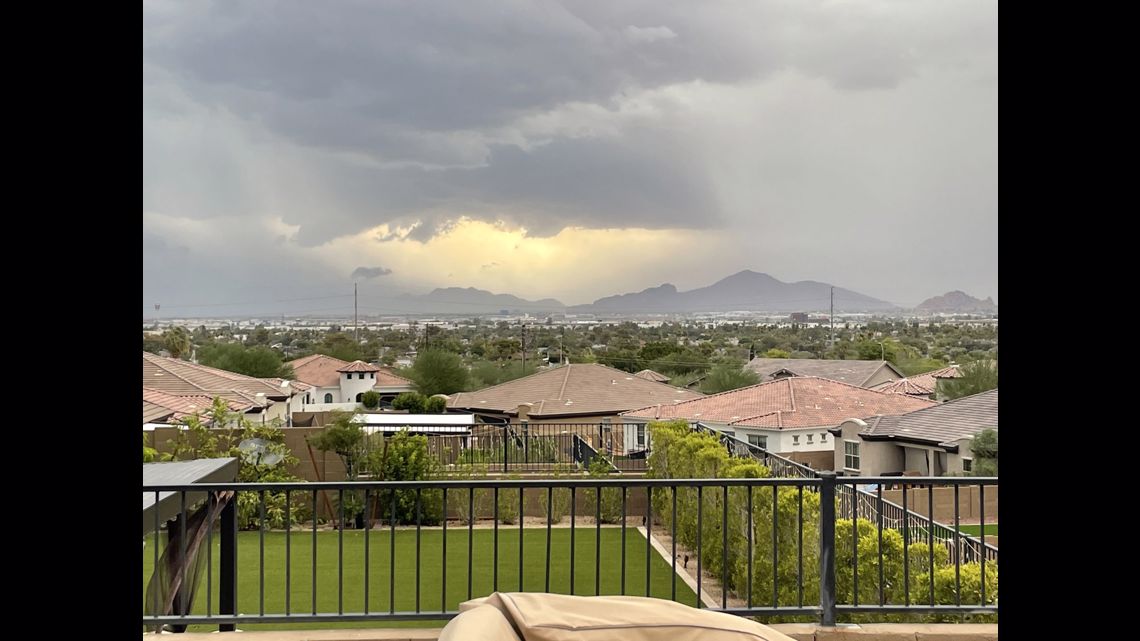


7:22 p.m.: I-17 experiencing heavy traffic in both directions due to heavy rains.
7:18 p.m.:
7:09 p.m.: Heavy rainfall, flash flood warnings continue for large parts of Phoenix and Scottsdale.
6:37 p.m.: Rain all along the Phoenix area. Be mindful of weather conditions.
6:22 p.m.: Storms have closed the early voting center at 39 East Jackson Street due to flooding.
6:20 p.m.: Severe thunderstorm warning in effect until 7:15 p.m. for Anthem, New River and Cave Creek
6:00 p.m.: Rains moving into the Valley. What to know as they hit Saturday evening.
5:58 p.m.: A flash flood warning is issued until 10 p.m. for Phoenix, Glendale, Paradise Valley, Laveen and downtown Phoenix.
5:50 p.m.: Severe thunderstorm warning until 6:30 p.m. for Mesa, Scottsdale, Fountain Hills and other areas in the northeast Valley.
5:38 p.m.: Dust advisory issued in Maricopa County in south-central Arizona until 6:15 p.m.
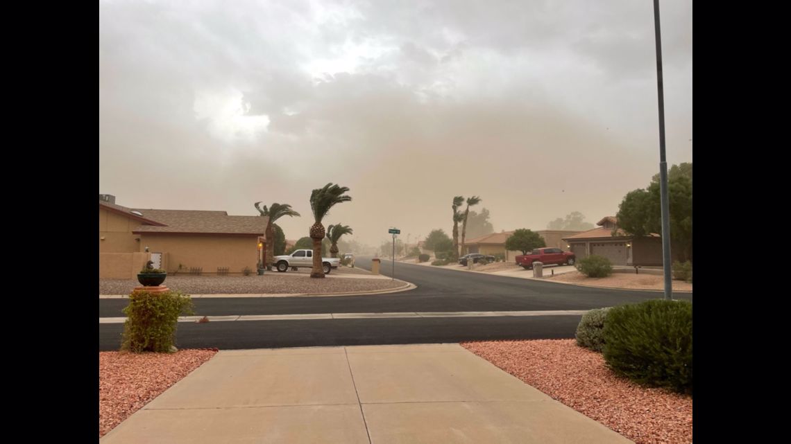
5:21 p.m.: A look around the East Valley as a dust storm moves into the Phoenix metro area.
5:18 p.m.: 12News is tracking the severe thunderstorm warning in the East Valley. The warning is in effect until 5:45 p.m. with winds expected up to 60 mph.
5:15 p.m.: NWS Flagstaff issues a flash flood warning in effect until 8:15 p.m. for portions of Navajo County.
5:11 p.m.: Dust storm warning in effect until 5:45 for I-10, I-17 and US 60 near Phoenix-Mesa.

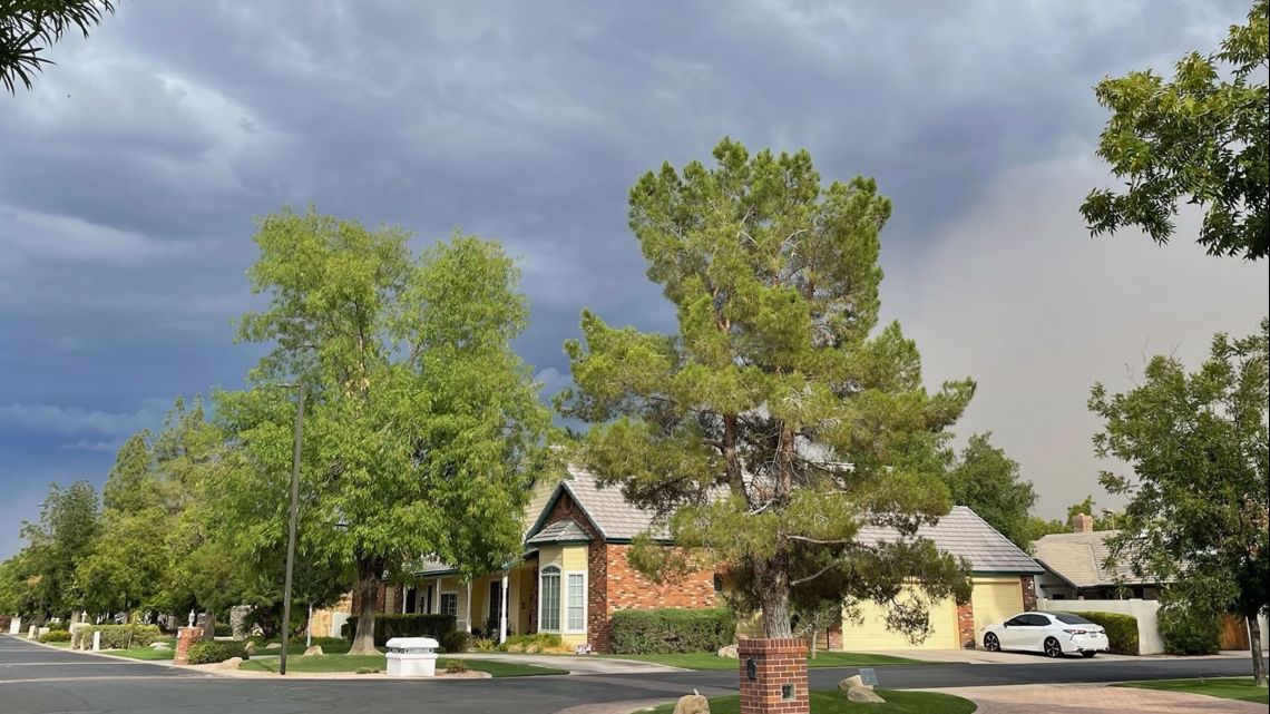

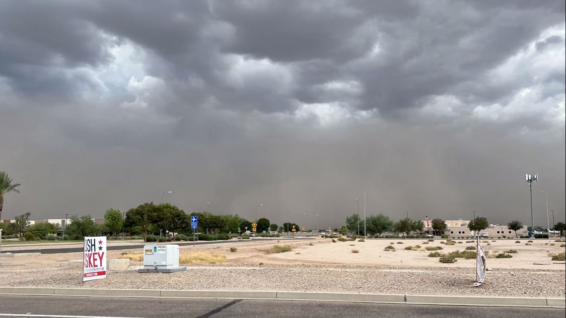
5:02 p.m.: Severe thunderstorm warning in effect until 5:45 p.m. for areas in the East Valley including Mesa, Chandler and Gilbert.
4:52 p.m.: Storms are still expected in the late afternoon and evening hours in northern Arizona. The greatest threat remains flash flooding, NWS Flagstaff says.
4:44 p.m.: Dust storm warning for cities in the East Valley in effect until 5:15 p.m. Look out for winds in excess of 40 mph and less than one-quarter visibility.
4:21 p.m.: ADOT camera spotted dust near Casa Grande along the I-10.
4:11 p.m.: NWS Phoenix has issued a dust storm warning in effect until 5:15 p.m. for I-10 near Casa Grande, I-10 near Eloy and US 60 near Phoenix-Mesa, AZ.
3:39 p.m.: Expect an active monsoon afternoon and evening around Phoenix. Damaging thunderstorm winds, locally dense dust and flooding will all be part of the mix this evening.
3:16 p.m.: Flash flood warning issued by NWS Flagstaff in effect until 6:15 p.m. for portions of Coconino County.
3:04 p.m.: 12News is tracking storms developing right now in east Pinal County. Phoenix residents could see these storms make their way into East Valley this evening.
2:40 p.m.: Flash flood warning issued in Sunflower, AZ until 6:45 p.m.
2:20 p.m. - NWS Tucson has announced a flash flood warning for the area around Tucson.
2:05 p.m. - In partnership with the City of Flagstaff, Coconino County has issued a shelter in place advisory for Creighton Estates, Cheshire, Coconino Est., Coyote Springs, and Anasazi Ridge.
Tonto National Forest has issued an emergency closure for Water Users Recreation Site due to debris flowing into the Lower Salt River.
1:55 p.m. - NWS Tucson has declared a severe thunderstorm warning for Tucson, Catalina Foothills, and Tanque Verde until 2:30 p.m.
Quarter-sized hail is a possible concern, along with winds up to 60 mph.
ADOT shared images of the rainy highway conditions. Remember to drive carefully in stormy weather!
1:30 p.m. - NWS Tucson has shared footage of storms moving into the Tucson Metro area. Get a look at that downpour!
1:10 p.m. - NWS Flagstaff has declared a flash flood warning for areas including Schultz Pass and Cheshire until 4:00 p.m.
12:35 p.m. - People on social media have captured footage of the flooding near Flagstaff roadways.
12:15 p.m. - NWS Flagstaff has declared a flash flood warning for parts of Coconino County including Doney Park, Hutchinson Acres, Macann Estates, and Little Elden Springs Horse Camp until 3:15 p.m.
12:05 p.m. - US 89 is closed in both directions north of flagstaff, ADOT said.
The closure is due to flooding at MP 426-434, and there is no estimated time to reopen the highway.
11:55 a.m. - NWS Phoenix has declared a flash flood warning along US 60 including Miami, Claypool, and Midland city until 4:00 p.m.
11:45 a.m. - Heavy rains have prompted a flash flood warning in the Flagstaff area until 2:45 p.m.
This includes Timberline, Wupatki Trails, Fernwood, Pine Mountain Estates, Sugarloaf Mountain, and Locket Meadow Campground.
People on social media have captured video of a debris flow onto US-89 to the northeast of Flagstaff. At this time no closures have been announced.
Arizona Weather
Drought, wildfires, heat and monsoon storms: Arizona has seen its fair share of severe weather. Learn everything you need to know about the Grand Canyon State's ever-changing forecasts here:
Flooding Safety:
The Arizona Fire & Medical Authority has provided the following tips on what hazards to watch out for during and after a flood, including fire, electrical and chemical safety:
Generators and alternative heating devices can create fire hazards during flooding if they aren’t used correctly or maintained properly. Pools of water and appliances can become electrically charged and can cause electrical fires.
On electricity, residents in flooded areas should turn off the power to their homes if they can reach the main breaker or fuse box. All wiring in the house may be electrically charged and hazardous. Residents should have a professional technician check their home for damages before turning on the power.
Make sure potentially combustible liquids like paint thinner, lighter fluid or gasoline haven’t spilled within or near your home. Keep combustible liquids away from electrical or alternative heat sources as to not start a fire.
All smoke alarms in the home should be tested monthly and batteries should be replaced yearly. Some smoke alarms are dependent on your home’s electrical service and may go out when power is turned off.
Make sure the fire hydrant near your home is cleared of debris so the fire department can assess it easily in the event of a fire.

