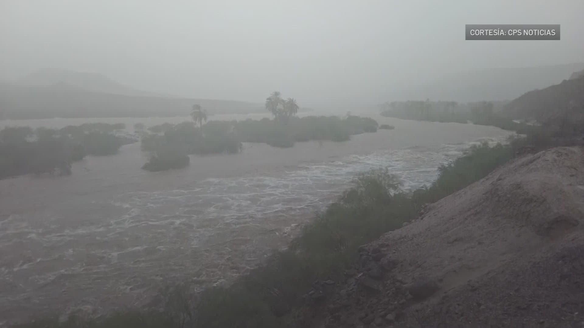
ARIZONA, USA — Editor's note: The above video is from a previous broadcast.
Tropical Storm Kay tracked northward and offshore from southern California. Despite the storm largely remaining offshore before dissipation, the area received quite a bit of rainfall over the last 48 hours.
Nearly all Phoenix area rain gauges measured rainfall, at least greater than 0.01 inches, Friday afternoon, September 9 through Friday night.
Northern Baja Mexico, northward to Imperial and San Diego Counties received the heaviest rain; these areas also experienced the most prevalent flash flooding.
>> Download the 12News app for the latest local breaking news straight to your phone.
Mountain Springs measured 4.04 inches of rain. Numerous boulders fell onto I-8, which impacted traffic and damaged vehicles.
New River, near Calexico, registered more than a seven-foot rise. Waterman Wash in the Rainbow Valley registered a six-foot rise. Multiple low-water crossings were flooded.
Highway 238 between Gila Bend and Maricopa was closed due to flooding. A rain gauge on Greene Wash at Sunland Gin Road measured 2.99 inches of rain.
The map shows a 48-hour rainfall total from Thursday evening, September 8 through Saturday evening, September 10. This rainfall was due to the influence of the former Hurricane Kay.
Arizona Weather
Drought, wildfires, heat and monsoon storms: Arizona has seen its fair share of severe weather. Learn everything you need to know about the Grand Canyon State's ever-changing forecasts here.

