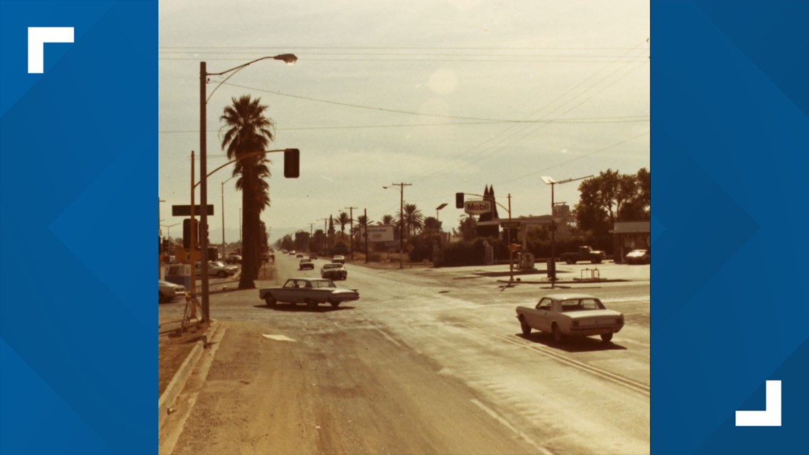
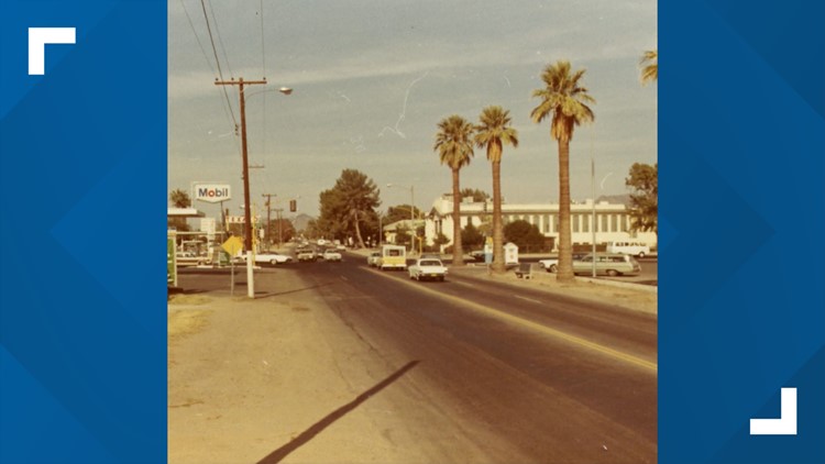
PHOENIX — Stretching from South Mountain to Phoenix Mountains Preserve, 16th Street is a well known main road in the Valley of the Sun.
However, did you know that the large street that carries traffic from central Phoenix to the south Valley was not always the size that it's known for today.
Before the 1960's, many streets in Phoenix only had two lanes, one going in either direction. Through the 60's, the city saw massive growth. Phoenix became more developer-friendly and travel accessibility for cars became a priority.
At this time, the city’s population quadrupled to 439,000 and its land area grew from 17 square miles to 190 square miles. The soaring growth practically demanded that roads such as 16th Street be expanded to comfortably fit all the new Phoenicians.
Today, Phoenix covers more than 500 square miles and has a population of more than 1.4 million, ranking it sixth in the country.
What do you think the Valley will look like in another six decades? Let us know on Facebook and Twitter using the hashtag #BeOn12.


Up to Speed
Catch up on the latest news and stories on the 12 News YouTube channel. Subscribe today.
What is the Valley?:
“The Valley” is what locals call the Phoenix Metropolitan Area. It is considered the largest metropolitan area in the Southwest.
The Valley is made up of various major cities other than Phoenix, including:
- Mesa
- Chandler
- Scottsdale
- Tempe
- Glendale
- Surprise
- Peoria
- Gilbert
- El Mirage
- Avondale
- Litchfield Park
- Goodyear
- Buckeye
Whether a city is in the “East Valley” or “West Valley” depends on where it is in relation to Phoenix.
The cities of the Valley have a combined population of 4,845,832 people, according to the 2020 United States Census. This makes it the 11th largest metropolitan area in the country right behind the Boston and Atlanta areas.


