
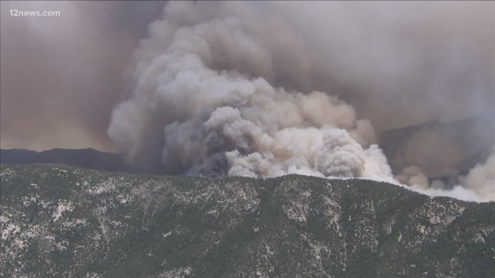
PIMA COUNTY, Ariz. — A red flag warning for Sunday and Monday was expected to increase fire activity for the Bighorn Fire in Pima County, north of Tucson.
The fire had grown to 104,690 acres and was 45% contained as of Sunday. Seven people had been injured in the fire.
Fire crews said high winds may limit aircraft use Sunday. A virtual public meeting was planned for 8 p.m. Sunday at this link.
The latest evacuation zone is the Redington community bordered by the Pima County lines on the north and east sides. The western and southern boundaries do not follow any specific road, but you can find an interactive map here.
On Friday afternoon, people living on the eastern slope of the Catalina Mountains south of the Pima County line and west of the community of Redington were ordered to evacuate immediately.
Other areas that are still under evacuation orders include:
- East slope of the Catalina Mountains south of the Pima County line and west of the community of Redington
Mt. Lemmon, Summerhaven, Mt. Bigelow
Lower Catalina Highway/Lower Mt. Lemmon Communities from Organization Ridge Road to South Willow Canyon
Currently, no shelter is open for the Bighorn Fire. If anyone needs assistance, please call the Red Cross at 1-800-842-7349
Other communities were asked to SET - alert:
- Community of Oracle
- Portions of east Golder Ranch area
- Catalina Foothills areas east of Kolb Road within northern areas of Ventana Canyon neighborhoods (refer to Interactive Map)
- Peppersauce Canyon to Highjinks Road and Campo Bonito
A map of the evacuation zone can be found here.
This is a developing story. Check back for updates.