PHOENIX – Last fall and winter in Arizona were record-breakers. Since Oct. 1, Phoenix Sky Harbor International Airport has received nearly double the amount of rainfall than normal. In February, Flagstaff had its snowiest day on record, with nearly 40 inches.
Forecasters say part of the reason Arizona had so many storms was a climatological pattern known as El Niño, when surface temperatures in the equatorial Pacific Ocean are warmer than normal.
“When this happens, this can affect the weather patterns downstream and into the United States, particularly during the winter season,” said Mark O’ Malley with the National Weather Service office in Phoenix.
El Niños, which occur every two to seven years, begin in the fall, peak that winter and normally dissipate by spring, the National Oceanic and Atmospheric Administration says. The name in Spanish means “the boy,” a reference to the infant Jesus. The opposite phenomenon is La Niña: when surface temperatures in the equatorial Pacific are cooler than normal.
El Niño years typically result in a wetter than average winter for Arizona. The conditions usually deteriorate in the early spring, but in March, the Climate Prediction Center of the NOAA released an update on the current advisory.
“Weak El Niño conditions are likely to continue through the Northern Hemisphere spring 2019 (~80% chance) and summer (~60% chance),” the summary said. It also stated that forecasters predict the equatorial Pacific surface temperatures will remain above normal by 0.5 to 1.0 degrees Celsius, indicating weak El Niño conditions.
Normally, El Niño does not last through the summer, but when it does, it can affect weather across the U.S., just as it does during the winter. However, in Arizona, the forecast can get tricky.
“Unfortunately, its predictability becomes very low during the summer season,” O’ Malley said. “We just don’t have a lot of historical precedent to build our forecast on.”
It’s hard to say what all of this will mean for Arizona’s summer monsoon.
NOAA’s records show there have only been seven lingering El Niño events in the past 69 years. Comparing those events with the wettest monsoons at Phoenix Sky Harbor, only two coincide with a lingering El Niño.
Historically, there is not much to prove that there’s a connection between the monsoon and El Niño.
“It doesn’t necessarily lead to a wetter or drier monsoon season; it is just too difficult to say,” O’ Malley said.
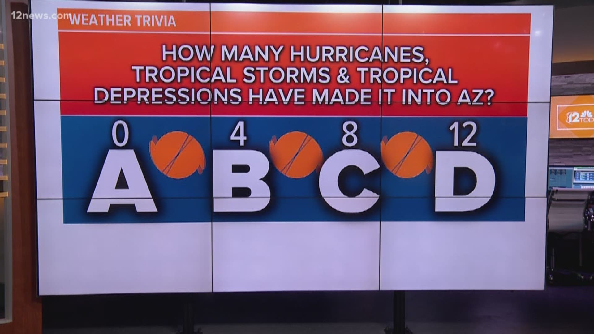
A lingering El Niño can affect the number of hurricanes along the Baja California Peninsula in the eastern Pacific. During the summer monsoon, Arizona can tap into the moisture that these giant storms contain, which can fuel major rainfall events across the state.
Last fall, there were two remnant storms from hurricanes that brought record rainfall to metro Phoenix. In September 2014, Hurricane Norbert’s landfall was so powerful it flooded out a stretch of Interstate 10 in the West Valley. El Niño was not a factor in either storm.
O’ Malley said it’s a guessing game whether Arizona could see more rain this summer, but he said regardless, people should be prepared for large storms that could come from potential hurricanes.
“It only takes one big hurricane to make a difference, so just because there may be less of them, doesn’t make it any less of a threat.”

