
It's about to be a very cold start to 2019 for Arizona, even below freezing in some places.
The Valley is looking at a high of 53 degrees Monday, making it the coldest day in nearly two years. But it's going to get even colder to kick off the new year.
The record cool high on New Year's Day in Phoenix was 46 degrees in 2015. The current forecast high for Tuesday is 51. For those keeping track, the record high temperature on New Year's Day is 81 degrees set in 2012.
Flagstaff is looking at a high Monday well-below freezing. Actually, temps statewide could be up to 20 degrees below average.
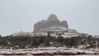
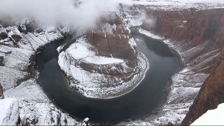
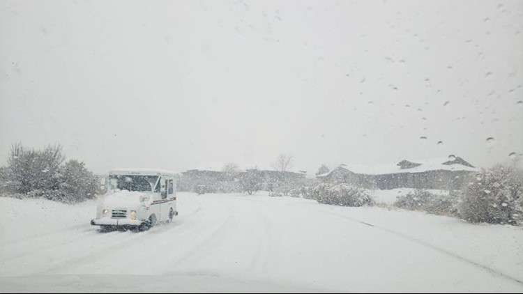
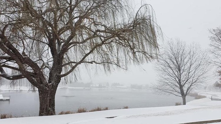
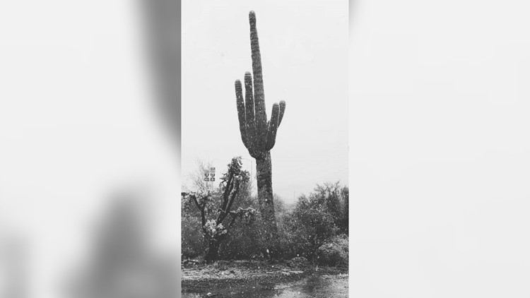
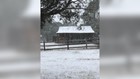
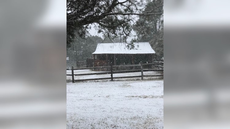
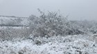
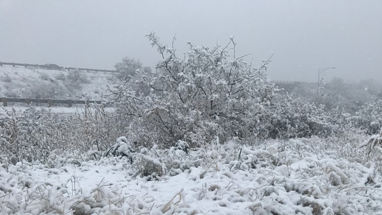
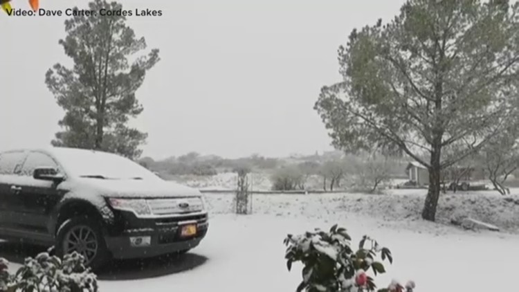
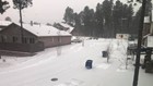
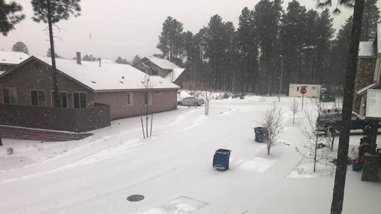
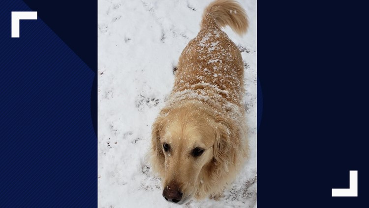
PHOTOS: Snow falls in Arizona on New Year's Eve


In the Valley, there will be a chance of showers by lunchtime. If those showers continue past midnight, the Valley will experience something on New Year's Day it's only seen 16 times in 123 years.
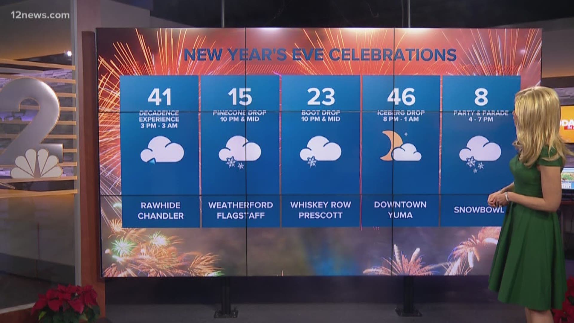
At ball drop, New York City will ring in the new year warmer than Phoenix.
The slopes of Snowbowl could get up to a foot of snow with Sunrise Park Resort receiving up to two feet of snowfall.
1:36 p.m.
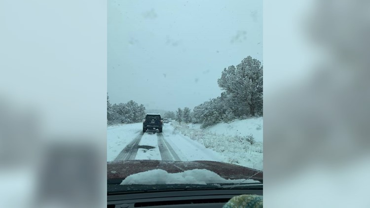
ADOT says SR 89A is "at a standstill" in Sedona, between mileposts 374 and 375, due to weather conditions
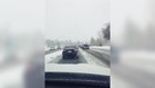
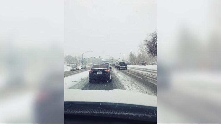
The department says both directions of I-17, between New River and Flagstaff, is "extremely slow" due to the weather.
The department also says its responding to ice, snow, crashes and slide-offs in several places across the state.
1:12 p.m.
Several Arizona state parks have been closed due to "dangerous weather conditions," including Red Rock Park, Jerome State Historic Park and Tonto Natural Bridge State Park.
ADOT tweeted out a reminder that SR 169 is closed between Dewey and I-17 due to multiple slide-offs and crashes.
12:45 p.m.
Arizona Snowbowl received 8 inches of snow by noon while Flagstaff and Prescott Valley both saw 2.5 inches and Cordes Junction received 1 inch.
ADOT said SR 89A was closed north of Jerome due to the current weather conditions.
12:26 p.m.
NWS Phoenix says showers are spreading eastward into the "remaining parts of the Phoenix area."
ADOT is warning drivers to delay travel until winter storm passes.
"If you decide to travel during a snowstorm," ADOT tweeted, "be prepared for delays and the possibility that you will spend extended time in winter conditions due to slowing and closures caused by the weather."
12:17 p.m.
Sunset Point north of Phoenix had a little less sun and a lot more snow.
11:49 a.m.
ADOT says there have been multiple crashes or slide-offs reported in the area of I-17, McGuireville and Cordes Junction.
11:35 a.m.
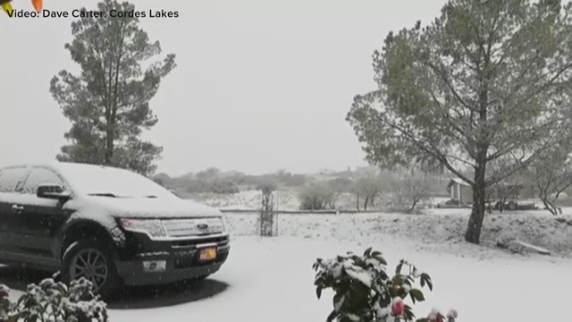
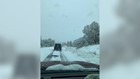
In the High Country, snow was already falling early Monday morning in places like Flagstaff, Cordes Lake and Prescott.
According to the National Weather Service in Flagstaff, as of 11 a.m. the heaviest snow showers were falling along I-17 near Camp Verde.
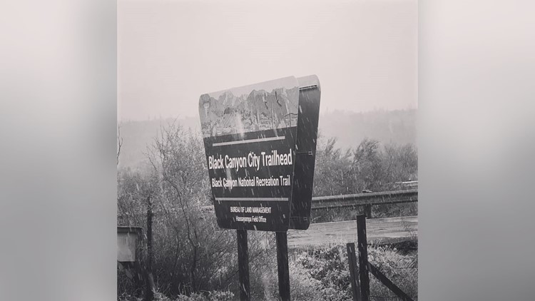
Snow was also falling in Wickenburg. And for those driving north on I-17,reports of snow started around Black Canyon City, according to NWS Phoenix.