
YAVAPAI COUNTY, Ariz. — As the Earth’s climate gets hotter and drier, understanding which communities are at greatest risk to wildfires and extreme storms can mean the difference between buying a house, moving to a new city, or perhaps taking greater precautions to protect one’s property.
The nonprofit First Street Foundation has launched a website that allows homeowners to enter their address and view the fire and flooding risk assessment for that property. The assessment projects 30 years into the future.
The Brooklyn-based nonprofit says its mission is to “democratize data” for homeowners and make their findings accessible to the average American property owner.
“Now owners of 141 million properties in the U.S. are now able to understand their fire risk,” said Jeremy Porter, chief research officer with First Street Foundation.
The wildfire risk calculator considers climate change trends, home structure, topography, surrounding vegetation and other factors to calculate the likelihood of a property being exposed to wildfire or embers.
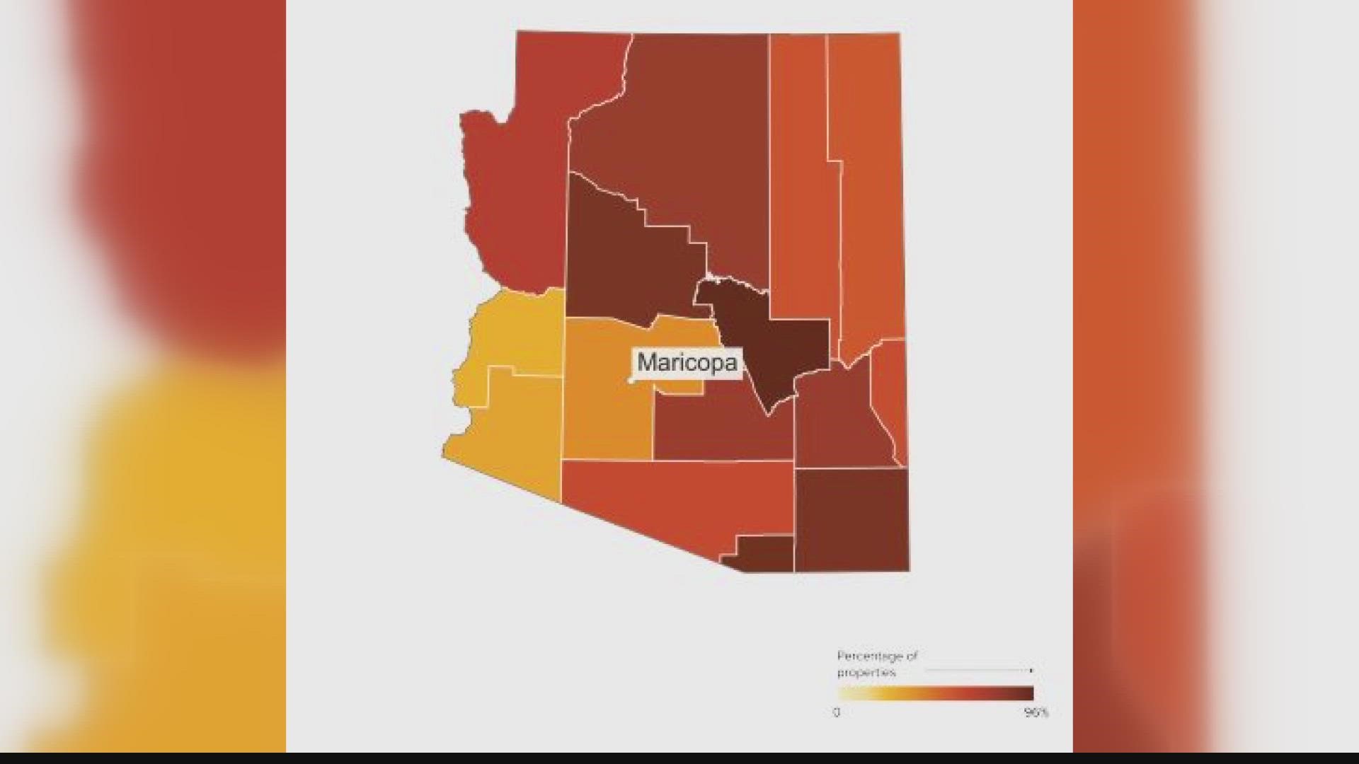
A scale of 1 to 10 shows the vulnerability level of a home. A broader report shows the risk factor for a particular community.
The calculator can be accessed through RiskFactor.com.
According to First Street Foundation, nationwide more than 30 million properties have a least a 1% chance of exposure to wildfire over the next 30 years. Approximately 1.5 million properties face an “extreme” risk of wildfire over 30 years, according to the foundation’s latest report.
“Whether you’re talking to a property owner, fire community manager, or community leader, we would just say use this data along with other sources of data to protect your community and personal property,” Porter said.
Rick Chase is a fire marshal with the Central Arizona Fire Medical Authority. His region includes Yavapai County, which is a hot spot for wildfires.
“Overall it sounds like it (RiskFactor.com) could be a helpful tool for folks to see what kinds of risk factors they have where they live,” Chase said.
Chase entered his own property address into the calculator. It revealed a “6 out of 10” rating for wildfire risk and a little less than 10% chance of his home being exposed to wildfire over the next 30 years.
Chase hopes homeowners use predictions about wildfire risk to prepare their personal properties with at least a 30-foot buffer.
“If an ember was to land (on your property), how would you prevent your house from catching on fire?” Chase said.
First Street Foundation is a nonprofit supported by organizations that include the Grantham Foundation, Hightide Foundation, Light Box, Map Box, and the 2040 Foundation. First Street Foundation uses publicly available government sources to create its calculations.
The Risk Factor website gives away data for free, but Risk Factor is a wholly-owned LLC of First Street.
First Street sells data to commercial entities for the purpose of private use, said Michael Lopes, communications director of First Street Foundation.
Up to Speed
Catch up on the latest news and stories on the 12 News YouTube channel. Subscribe today.